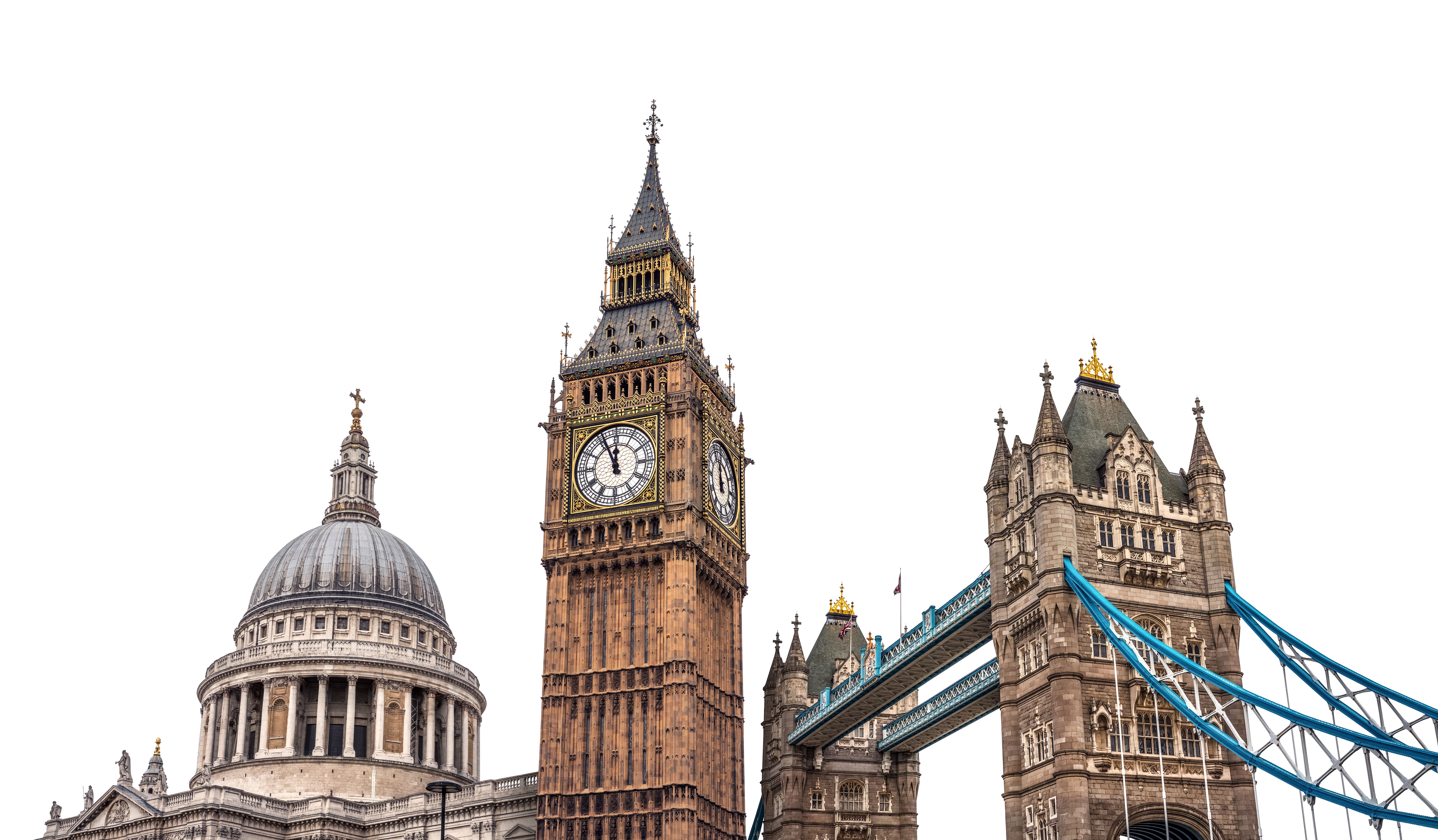
Top 5 Benefits of AI-Powered Imagery for Google Maps in London
Enhancing Navigation Accuracy
One of the most significant benefits of AI-powered imagery for Google Maps in London is the enhanced accuracy of navigation. AI technologies can process vast amounts of data to ensure that maps are always up-to-date with the latest road changes, closures, and traffic conditions. This means users can rely on more accurate directions and estimated arrival times, helping them avoid traffic jams and reach their destinations more efficiently.
For example, AI can analyze traffic patterns and suggest alternative routes in real-time, saving commuters time and reducing congestion. This dynamic ability to adapt to changing conditions is a game-changer for daily travelers in a bustling city like London.

Improved Street-Level Imagery
AI technology plays a crucial role in enhancing street-level imagery by automatically updating and improving the quality of images used in Google Maps. This is particularly useful in a city like London, where new buildings and urban developments are constantly changing the landscape.
AI algorithms can identify outdated images and replace them with newer, higher-quality ones, ensuring users have the most recent visual information available. This helps users better recognize landmarks and navigate unfamiliar areas with greater confidence.

Enhanced Points of Interest Details
AI-powered imagery also improves the details available for points of interest (POIs) on Google Maps. By using machine learning, AI can analyze user reviews, photos, and ratings to provide more comprehensive and up-to-date information about businesses and attractions.
- Personalized Recommendations: AI can suggest tailored recommendations based on user preferences and previous interactions with the map.
- Rich Content: Enhanced imagery allows for interactive content such as 360-degree views or virtual tours of popular locations.

Environmental Impact Reduction
By optimizing routes and reducing unnecessary travel, AI-powered imagery contributes to environmental sustainability. In a city as densely populated as London, minimizing traffic congestion can significantly reduce carbon emissions, contributing to cleaner air and a healthier environment.
AI can also assist in promoting greener transportation options by highlighting bike lanes, walking paths, and public transport routes, encouraging users to choose more sustainable modes of travel.

Accessibility Improvements
Finally, AI-powered imagery enhances accessibility features on Google Maps. For those with mobility challenges, AI can provide detailed information about accessible routes, including the location of ramps, elevators, and other facilities designed to assist individuals with disabilities.
This ensures that everyone has the opportunity to navigate London with ease, making the city more inclusive for residents and visitors alike.

